Point Cloud Processing

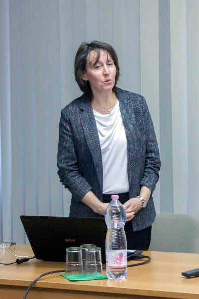
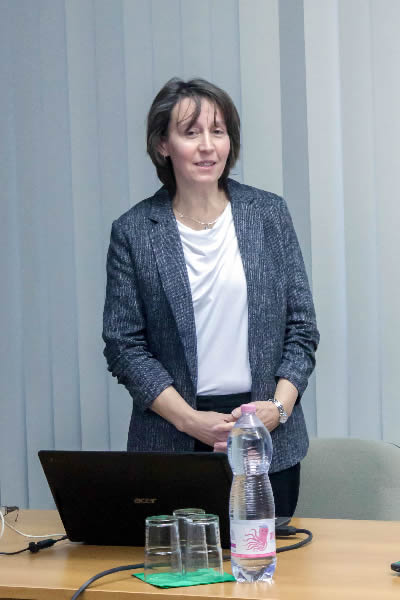
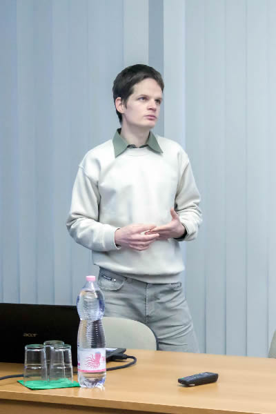
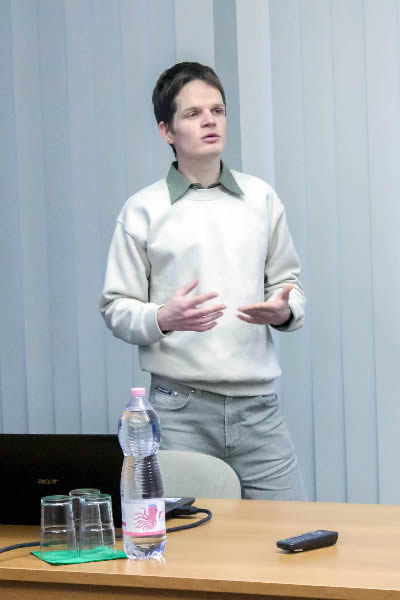
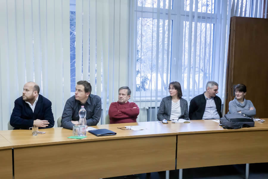
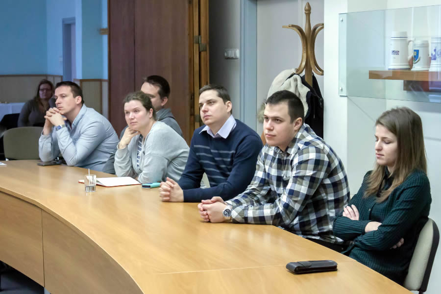
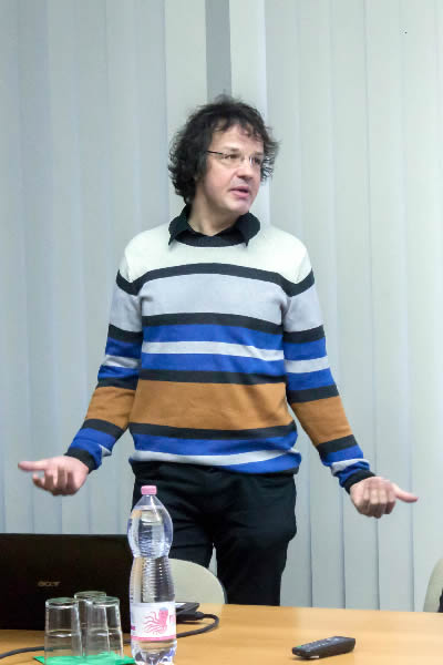
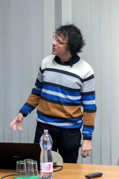
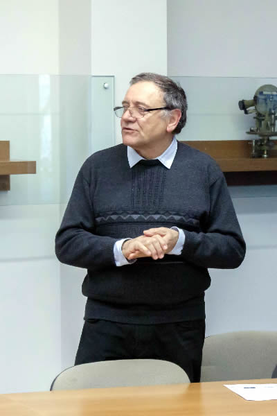
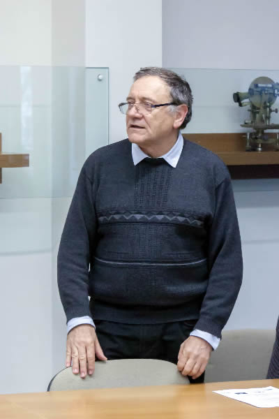
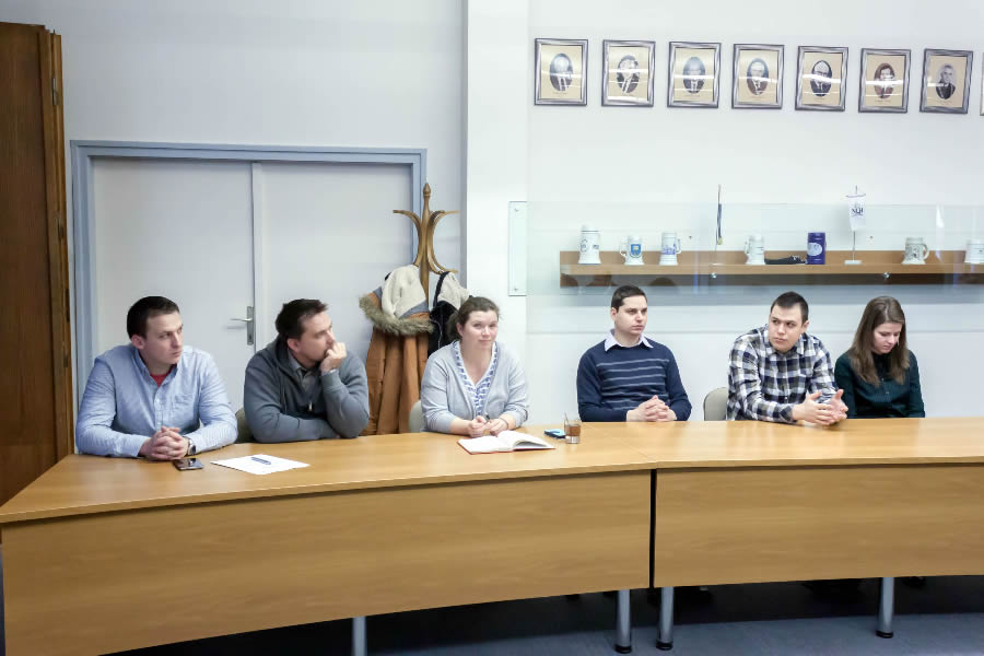
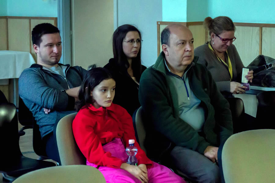
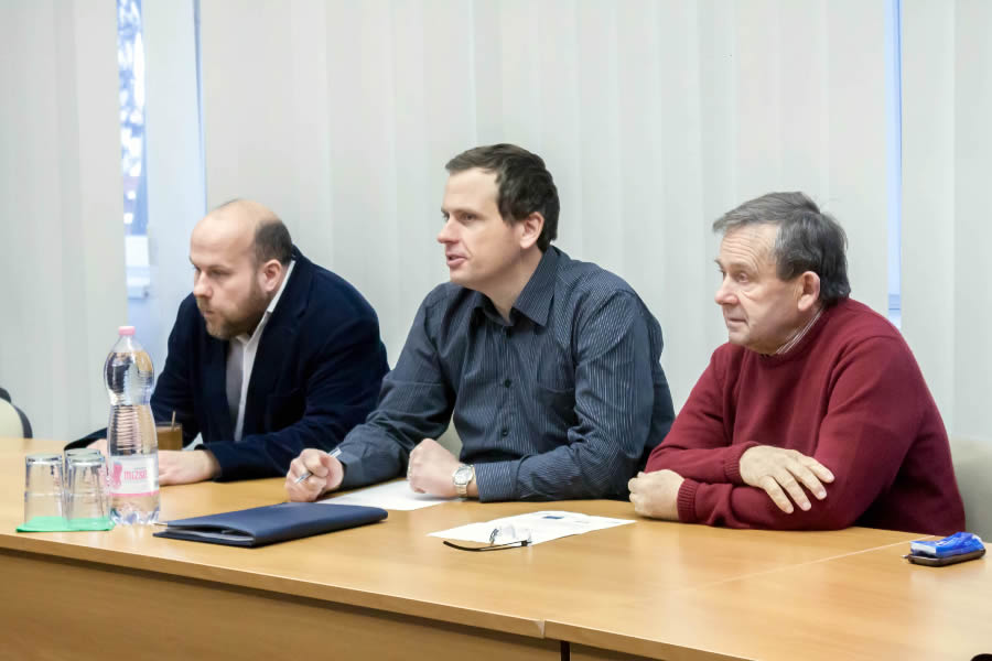
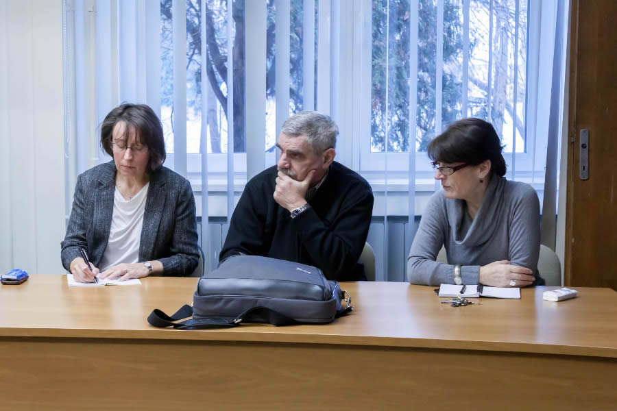
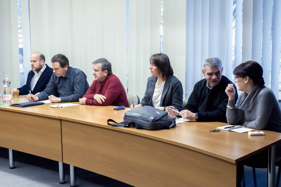
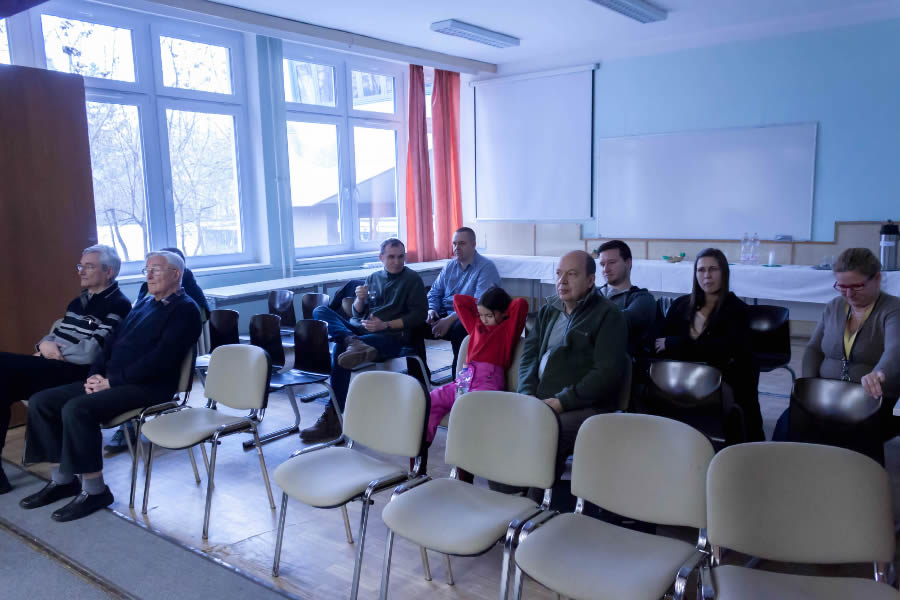
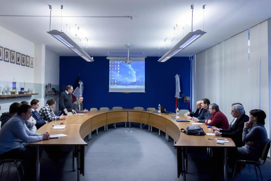
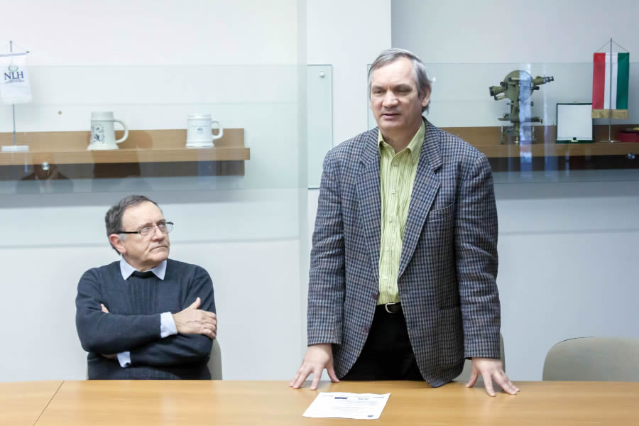
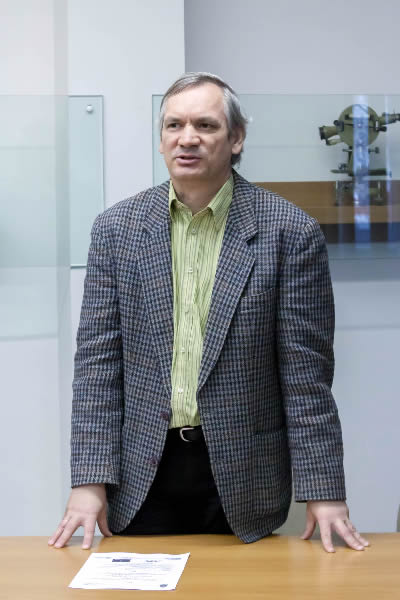
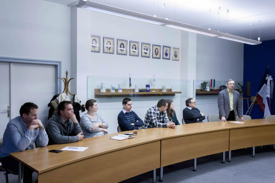
The Hungarian Society of Surveying, Mapping and Remote Sensing, Department of Photogrammetry and Remote Sensing of the University of Óbuda and Mikoviny Samuel College had a joint event where valuable presentations were read on “point cloud processing” topic. The presentations touched the themes of terrestrial and aerial laser survey technologies, application possibilities. We were acquainted with the data processing and the hardware and software visualisation solutions via spectacular slides. The informal form and the appropriate time frame allowed to the speakers to present their research, their results in a detailed report. Onthe other hand the audience had interesting questions and propositions as well.