Doctoral Studies in GeoInformation Sciences (DSinGIS) brief
EU ERASMUS+ project 15.10.2017-14.10.2020
Geospatial Science (GISc) is a new science, however, has its roots thousands of years. It integrates three traditional geosciences (firstly, geodesy as the science of precise spatial data acquisition; secondly, geography as the science of studying human and physical aspects; finally, cartography as the science of making maps. The integration of these sciences is based on the rapidly evolving computer science. The methods of GISc are widely applied in other sciences, essential in decision making for sustainable development.
The wider aim of the project is to support Uzbekistan in sustainable development by GISc. The objectives envisaged with the project is to establish a missing puzzle from the Uzbek educational system after the MSc level has been completed and before the DSc is targeted. The proposal offers a programme and methods to bridge the gap.
Specific Project Objectives:
- Develop new doctoral programme, innovative doctoral courses and methodologies, supporting continuing professional development on the applications in geoinformatics.
- Build advanced ICT-based learning and research environment, strengthening the relations between higher educational institutions (HEIs) and research institutions (RIs).
- Enhance the scientific level of academic and research staff at UZ partner universities in the field of geoinformatics.
- Orientate UZ scientists into interdisciplinary geoinformation science in geospatial doctoral studies and research.
- Improve involvement of UZ academic staff and doctoral candidates in geoinformation sciences into world-wide scientific community, strengthening internationalization of HEIs/Ris.
The outputs are as follows
- an international network in GISc;
- an accredited Doctoral Programme;
- education capacity at HEIs to deal with the above mentioned problems;
- e-learning platform with a joint, co-operative knowledge pool;
- glossary of geospatial terms, containing definitions in Uzbek, helping interdisciplinary communications;
- research capacity: research labs, and a Joint Research Centre for the interdisciplinary applications in UZ;
- annual GI conferences aiming multiplier effects
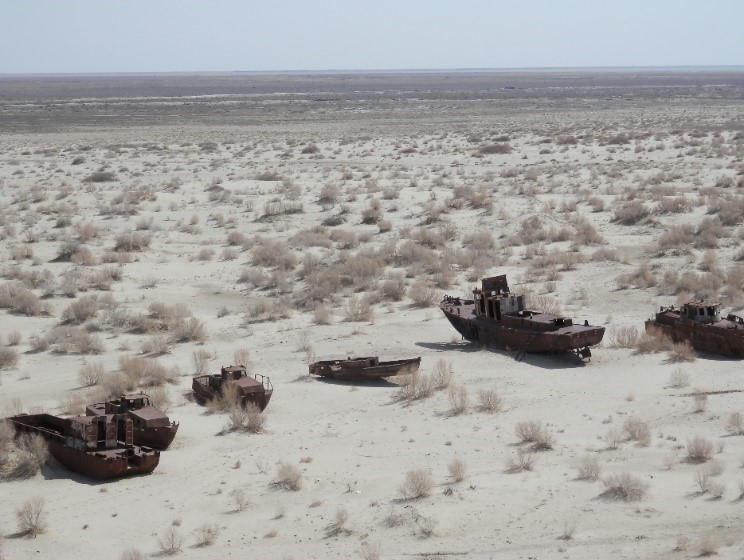
There are several challenges in UZ, where GISc may efficiently support solutions, for such issues as climate change, land degradation, heavy use of agrochemicals, diversion of huge amounts of irrigation water from the two main rivers of the region, water scarcity, the chronic lack of water treatment, e.g. Aral Sea, or the growing threat to air quality. UZ society will benefit from innovations to enhance quality, performance and interactivity of public services, to reduce costs and resource consumption and to improve contact between citizens and government.
DSinGIS will serve doctoral candidates with high quality GISc sw/hw in the project timeframe and beyond. We implement online learning infrastructure as a common platform, including supervisors. Learning materials will be shared from a joint, co-operative knowledge pool, which will contain 18 PhD course (10 Uzbek language and 8 English). The infrastructure will host a Learning Management System (Moodle). The online-facilitated intellectual capability will be built across all network partners
Partners
- Obuda University, Hungary
- Paris Lodron University of Salzburg (PLUS), Austria
- Royal Institute of Technology (KTH) Stockholm, Sweden
- Leibniz Institute of Agricultural Development in Transition Economies (IAMO), Halle, Germany
- Tashkent Institute of Irrigation and Melioration (TIIAME) Tashkent, UZ
- National University of Uzbekistan named after Mirzo Ulug’bek (NUU), Tashkent, UZ
- Karakalpak State University named after Berdakh (KSU) Nukus, UZ
- Samarkand State Architectural and Civil Engineering Institute (SamSACI) Samarkand, UZ
- Tashkent Institute of Architecture and Civil Engineering (TIACE) Tashkent, UZ
Associated partners
- State Committee of Republic of Uzbekistan om Land Resource, Tashkent, UZ
- Ministry of Higher and Secondary Specialized Education (MHSSE) Tashkent, UZ
- Supreme Attestation Commission under the Cabinet of Ministers, Tashkent, UZ
Budget: 992 169 EUR