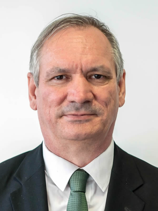
Name: Prof. Dr. Jancsó Tamás
Title: professor
Room: 8000 Székesfehérvár, Pirosalma street 1-3. 1F room 111
e-mail: jancso.tamas @ amk.uni-obuda.hu
Phone: +36 22 200 457
Consultation: monday, 9:40 – 10:45
Publications: https://m2.mtmt.hu/gui2/?type=authors&mode=browse&sel=authors10012455
EDUCATION
- Moscow State University of Geodesy and Cartography
Certified Aerial Survey Engineer, 1990
ACADEMIC DEGREES
- PhD, summa cum laude, 2006
University of West Hungary, Kitaibel Pál Doctoral School of Environmental Sciences - Dr. habil.
Obuda University, 2017 - Professor
Obuda University, 2025
AWARDS
- 2006 University Outstanding Teacher
LANGUAGE QUALIFICATION
- Advanced Russian
- Intermediate English
TEACHED SUBJECTS
- Photogrammetry
- Digital Photogrammetry
- Digital Photogrammetry
- Basics of Digital Photogrammetry
- Application of UAV technology
- Autonomous Flight Plan Preparation
- Fundamentals of Aerial Data Acquisition
RESEARCH TOPICS
- Gross-error filtering.
- Digital terrain modeling.
- 3D modeling.
- Adjustment calculations in photogrammetry.
- Urban ecology studies using remote sensing methods.
OTHER ACTIVITIES
- MFTTT (Hungarian Society of Surveying, Mapping and Remote Sensing) member 2003-
- Idrisi Resource Center secretary 2003-2009
- MTA (Hungarian Academy of Sciences) Geodesy and Geoinformatics Scientific Committee member 2006-
- MTA Geoinformatics Subcommittee secretary 2006-2008
- FIG Education Committee secretary 2006-2009
- MFTTT ISPRS National Committee member 2006-
- Faculty Council member 2007-2014
- Faculty TDK (Scientific Student Association) Committee chairman 2007-2014
- Faculty Scientific Committee chairman 2007-2014
- MFTTT (Photogrammetry and Remote Sensing Department) chairman 2013-
- MTA Geodesy and Geoinformatics Scientific Committee, Geoinformatics Subcommittee chairman 2018-2019
RESEARCH PROJECTS
| Short name of the project | Project title | Duration | Funding source | Role |
| Surface formations investigation | Surface formations investigation in rural environments based on point clouds and remote sensing data | 2022-2023 | National Development Agency (NDA) | supervisor |
| RADI | Urban eco-environmental geospatial data acquisition and analysis model creation using remote sensing methods | 2014-2015 | NDA | supervisor |
| IGIT | Integrated geo-spatial information technology and its application to resource and environmental management towards | 2011-2015 | EU Marie Curie | supervisor, project coordinator |
| TÁMOP-4.2.2.C-11/1/KONV-2012-0015 | Scientific processing of Earth system data and socialization of knowledge using modern IT tools | 2012-2014 | Social Renewal Operational Programme (TÁMOP) | faculty coordinator |
| TÁMOP 4. 2. 2. B – 10/1 – 2010 – 0018 | TALENTUM – Development of a complex system of conditions for student talent management at the University of West Hungary | 2011-2013 | TÁMOP | faculty coordinator |
| NTP-OKA-VIII-A-029 | “Supporting the participation of higher education students showing outstanding talent in international competitions and domestic and international conferences” – OTDK participation | 2011 | Nemzeti Tehetség Program | supervisor |
| ATLAS | ATLAS – Application of the terrestrial laser scanning for environmental processes and changes . Erasmus Intenzív Program Magyarországon | 2010-2011 | Erasmus program | supervisor |
| TÁMOP 4.1.2-08/1/A-2009-0027 | Curriculum development for GEO | 2010-2011 | TÁMOP | participation |
| TÁMOP 4.2.1/B-09/1/KONV-2010-0006 | Intellectual, organizational and R&D infrastructure development at the University of West Hungary | 2010-2013 | TÁMOP | faculty coordinator |
| TÁMOP 4.2.3.-08/2009-0001 | Recognition and dissemination of scientific results | 2010-2011 | TÁMOP | faculty coordinator |
| TÁMOP-4.2.1-08/1-2008-0008 | eCompetence Multidisciplinary University Knowledge Management System Development and Organizational Framework Establishing a Regional Innovation Framework developments at the University of West Hungary | 2009-2011 | TÁMOP | faculty coordinator |
| IRSA | Extraction and evaluation of GIS products in urban ecological environment | 2009-2010 | NDA | supervisor |
| SIRC | Landscape ecological monitoring, change prediction and information system in Wuyishan Nature Conservation Area | 2009-2010 | NDA | participation |
| Vadgazdálkodás és biodiverzitás monitoring | Wildlife management and biodiversity monitoring Wildlife management and biodiversity monitoring using remote sensing and open GIS standards (OGC) | 2007-2008 | NDA | participation |
| GI-Indeed | E-learning GIS curriculum development in environmental decision support | 2006-2007 | EU LEONARDO | faculty coordinator |
| GIS modellezés | Eco-environmental GIS modeling in Hungary and China | 2004-2006 | NDA | participation |
| DLG | GIS with distance learning | 1996-1997 | EU PHARE | participation |
| OLLO | Distance Learning for Land Offices | 1995-1998 | TEMPUS | participation |
PUBLICATIONS
Publications are available in the MTMT database at the following link:
https://m2.mtmt.hu/gui2/?type=authors&mode=browse&sel=authors10012455

