Land Surveying and Land Management BSc course is offered at the Óbuda University for international students in English. The course provides skills and competencies in the fields of
- land surveying
- engineering geodesy
- geoinformatics
- mapping
- remote sensing
- satellite geodesy
- satellite positioning and navigation
- photogrammetry
- land use and land management
- land cadastre
- geosciences

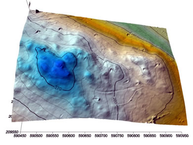
Surveying basically provides position information on the surface or above the Earth and its temporal variations. Geodesy provides the corresponding reference frames for surveying bysed on physical and geophysical considerations.
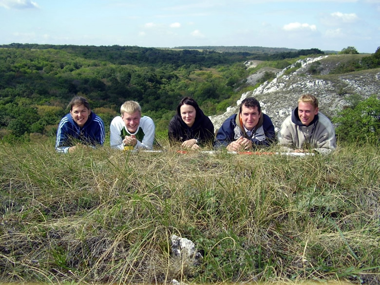
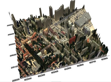
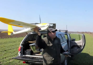
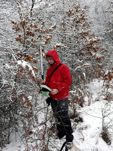
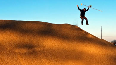
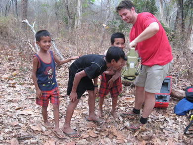
Surveying and geodetic measurements are performed on terrestrial, air-borne (e.g. UAV) and satellite-borne platforms, and delivers information both on visible light (surveying, phtogrammetry) and other frequencies of the electromagnetic spectrum (Remote Sensing). Based on the measurements, geometry, maps, remote sensing and geoinformatic data are derived, and used for a wide range applications, including civil engineering, exploration geophysics, military, hydrology, ecology, oceanography, glaciology and geology. Surveying is the basic of all engineering tasks.
BSc course on Land surveying and Land management is available at the Alba Regia Technical Faculty of the Óbuda University, in Székesfehérvár, Hungary. The Óbuda University is among the leading engineering universities of Hungary, providing international courses in Computer Science Engineering, Electrical Egineering, Environmental Protection Engineering, Mechatronical Engineering among others.


Practical information on enrollment to the Land surveying and Land management BSc course see
https://international.uni-obuda.hu/admission/how-apply
For more information on the Land surveying and Land management BSc course
contact info@amk.uni-obuda.hu